Kempsey CBD Flood Risk Management Study and Plan
Consultation has concluded

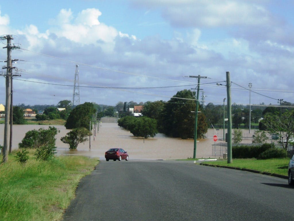
The Kempsey CBD and surrounding residential areas are located on the flow paths of the Macleay River and while protected from small flood events by constructed levee systems, significant inundation can be experienced when the levee is overtopped. Council is responsible for planning and managing this flood prone land to ensure that development is not subject to unnecessary risk, while not restricting development where the risks are acceptable.
The Draft Kempsey CBD Floodplain Risk Management Study and Plan now on public exhibition, takes into consideration a range of possible scenarios and recommends potential management actions.
A Hydraulic Report undertaken in 2015 and the preparation of the of the draft Kempsey Flood Risk Management Study and Plan has enabled Council to review and update previous flood assessments for the CBD and surrounding urban areas, and use the latest data and modelling techniques to gain a greater understanding of likely flood behaviour.
Council encourage the community to
- Review these important draft documents, look at how the possible flood scenarios would impact you and make a submission.
- For more information download the documents or review the Frequently Asked Questions.
- Registrations are now open for community information sessions.
The Draft Study and Plan have been developed in accordance with the NSW Government’s Flood Prone Land Policy and Floodplain Development Manual (2005) and received financial and technical assistance from the Office of Environment and Heritage.
Public exhibition of the draft Flood Risk Management Study closed on 24 February 2017. A report will be presented to Council in coming months.
Submission
Consultation has concludedDocument Library
-
 Final Draft - Kempsey Floodplain Risk Management Study (10.1 MB) (pdf)
-
Draft for Public Exhibition - Kempsey Floodplain Risk Management Plan (1.92 MB) (pdf)
-
Figures - Draft Kempsey CDB Floodplain Risk Management Study (65.3 MB) (pdf)
-
Appendix B Figures - Draft Kempsey CDB Floodplain Risk Management Study (4.15 MB) (pdf)
Key Figures and Maps
Highlighted documents:
-
 Table 1: Table of Future Flood Management Actions (65.7 KB) (pdf)
-
Figure 8: 1% AEP Peak Flood Depths and Levels - Whole of Study Area (1.57 MB) (pdf)
-
Figure 9: 1% AEP Peak Flood Depths and Levels - Kempsey Urban Areas (959 KB) (pdf)
-
Figure 12: Hydraulic Floodway and Land Use (4.04 MB) (pdf)
-
Figure 23: Flood Planning Area (4.7 MB) (pdf)